


 - Photo 21")
 - Photo 22")
 - Photo 23")
 - Photo 24")
 - Photo 25")
 - Photo 26")
 - Photo 27")
 - Photo 28")
 - Photo 29")

6,6 km | 10,4 km-effort

Benutzer


Kostenlosegpshiking-Anwendung
 SityTrail
IGN / Geografische Institute
SityTrail World
Die Welt öffnet sich für Sie
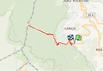
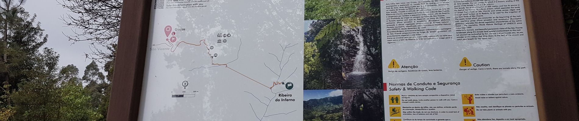
Tour Wandern von 9,1 km verfügbar auf Madeira, Unbekannt, São Vicente. Diese Tour wird von Bart2015 vorgeschlagen.
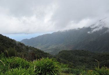
Très belle randonnée qui longe le levada da Faja do Rodrigues. C'est parti pour l'aventure dans une végétation qui donne l'ambiance ... Elle emprunte de nombreux longs tunnels dont un de plus d'un kilomètre et les chaussures hautes et la frontale sont indispensables. Il est même parfois très difficile de se croiser surtout dans le dernier ... Les cascades sont magnifiques ...
Bonne rando ...
 - Photo 1")
 - Photo 2")
 - Photo 3")
 - Photo 4")
 - Photo 5")
 - Photo 6")
 - Photo 7")
 - Photo 8")
 - Photo 9")
 - Photo 10")
 - Photo 11")
 - Photo 12")
 - Photo 13")
 - Photo 14")
 - Photo 15")
 - Photo 16")
 - Photo 17")
 - Photo 18")
 - Photo 19")
 - Photo 20")
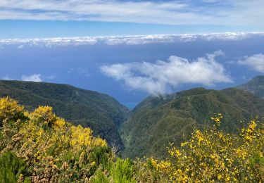
29 Fotos insgesamt. Klicken Sie auf ein Foto, um sie alle in der Galerie zu sehen.
Wandern
Zu Fuß
Zu Fuß

Wandern
Wandern

Zu Fuß


Wandern
Wandern